1 (888) 9-HYDREX info@hydrex-inc.com
1 (888) 9-HYDREX info@hydrex-inc.com
A cemetery is an historic site of importance with eternal implications. As many cemeteries have limited access to long term records, digitizing records in both tabular and map formats provides an easily accessible and useful reference.
Mapping plays a critical role in many Hydrex projects. With more than 30 years of experience, Hydrex has demonstrated expertise in the creation and display of information through numerous mapping platforms.
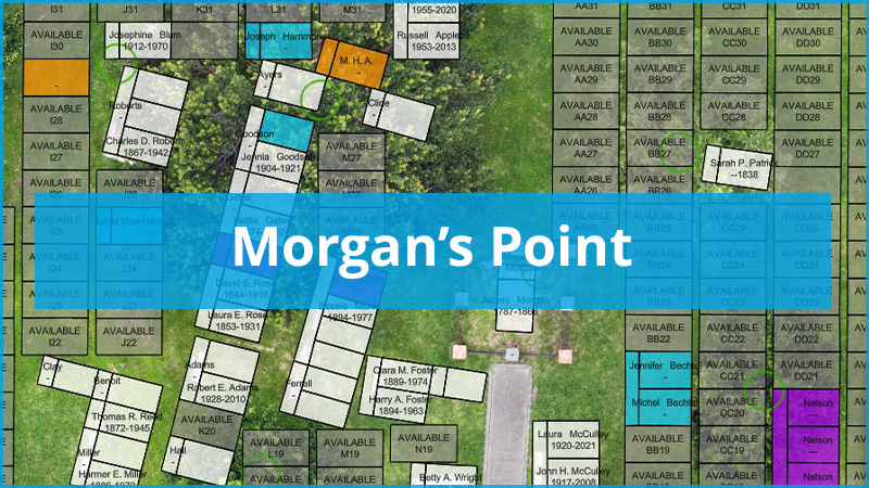
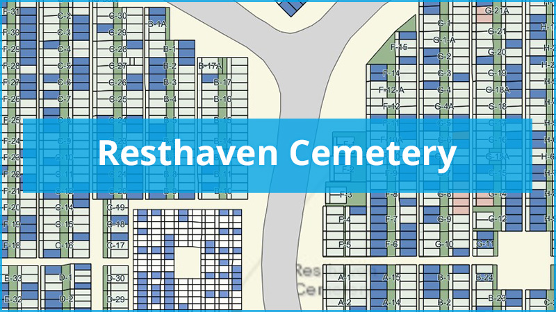
Cemetery mapping is a unique professional service in which we take great pride and deliverables include large format maps for display at on site, and digital files of the map, including spreadsheets of existing and reserved grave sites, and web-based interactive maps that can be utilized anywhere with an internet connection.
