1 (888) 9-HYDREX info@hydrex-inc.com


1 (888) 9-HYDREX info@hydrex-inc.com

Hydrex Drone Division’s aerial technology brings a whole new dimension to the table with advanced 3-D modeling and visualization solutions. Hydrex Drone Division employs cutting-edge technology to expand our drone fleet, allowing us to maintain our well-known level of detail and accuracy even in dense vegetation. Trust your aerial imaging to professionals.
Using Unmanned Aerial Systems (UAS) we collect data more quickly, safely, and more cost effectively than traditional ground surveying. Plus, the Hydrex Drone Division uses LiDAR (Light Detection and Ranging) technology* to penetrate forest canopies to create accurate ground surface models in vegetated areas, which is a limitation under the typical photogrammetric process.
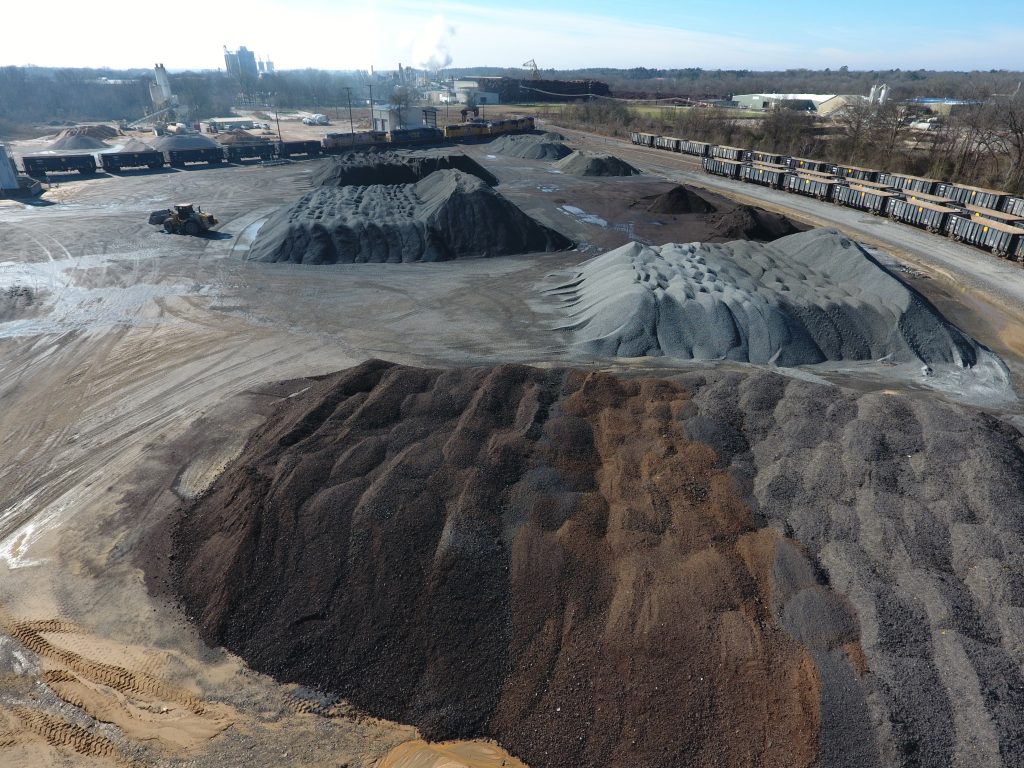
Hydrex Drone Division uses this data to calculate results within inches of accuracy. Our experts use drone photogrammetry software to produce highly detailed, 3-dimensional point clouds and develop digital terrain models. Applications include measuring stockpiles for aggregates, performing density studies for landfills, monitoring pit progression for mines, and evaluating secondary containment for oil and gas companies.
All drone operations performed by Hydrex comply with all applicable FAA regulations. Hydrex drones are registered with the FAA and flights are completed safely by certified FAA remote pilots.


*LiDAR systems work like radar but instead of radio waves, they use a rapidly firing laser to scan with pin-point precision. Our systems also incorporate RTK (Real-Time Kinematic) corrections to provide real-time positioning with up to centimeter-level accuracy.
LiDAR scanning produces 3D point clouds, which are made up of hundreds of thousands of georeferenced points reflecting the physical shape of the area scanned, which can be analyzed, classified, and filtered to produce 3D models.
Our LiDAR enabled drone includes a 45-megapixel camera that allows us to produce even higher resolution orthomosaic imagery than ever before; down to 0.5 inches! Using our typical photogrammetric process, the individual photographs taken during the survey are combined to produce one large, map-quality image. 3D point clouds are also produced from this method, allowing us to perform accurate calculations for distances, areas, and volumes.